What is the ground like around Augusta?
Augusta is split by the Fall Line, where the hard crystalline rocks of the Piedmont meet the softer sediments of the Atlantic Coastal Plain. On one side the soil is red clay over weathered rock. On the other it is deep sand, sandy clay, and kaolin. The two behave differently under a bucket, and a lot a few miles away can need a different method.
The New Georgia Encyclopedia calls Augusta one of Georgia's Fall Line cities, with Macon and Columbus. The Piedmont side has low hills and narrow valleys, and the Fall Line itself is where rivers have rapids. Both facts matter to a contractor, because the ground around a Fall Line city is cut into hills and stream valleys, and it changes quickly from one lot to the next.
This page puts what the state and federal geologists say next to what we see on jobs. It is a guide to what to expect, not a report on your lot. Only a boring or a pit tells you that.
What are the main kinds of ground near Augusta?
Weathered crystalline rock turns into a thick layer called saprolite, which the New Georgia Encyclopedia describes as the red clay of Georgia, made of clay minerals, iron oxides, and resistant minerals such as quartz. It states that saprolite is highly erodible if the vegetation cover is removed.
On a job: it stands in a narrow cut, grades well when dry, and ruts when wet. Cover it quickly after clearing.
The USGS report on the Fort Gordon area describes the Fall Line as a transition zone between the Coastal Plain and Piedmont provinces. The terrain is hilly, with rock outcrops in stream valleys.
On a job: expect variety. Rock can show up in one corner of a lot and not the rest, and a trench can run through clay and then sand in fifty feet.
The USGS reports unconsolidated sand with interbedded sandy clay, 100 to 150 feet thick in Richmond County, and a Barnwell Group of medium to very coarse quartz sand with minor clay, about 100 feet thick.
On a job: it drains fast and digs easily. It also slumps in a trench wall, so we slope or support the cut, and it can wash before grass takes hold.
The same report describes the Huber Formation as kaolinitic sand, sandy kaolin, and kaolin, less than 50 feet thick in Richmond County.
On a job: a pale, sticky layer that is slick when wet. It holds water, so a pit or a pond that meets it behaves differently from one in sand.
These descriptions are regional. Your lot may be one of these, or a mix. A soil boring or a test pit is the way to know.
Why does clay erosion matter so much on a cleared lot?
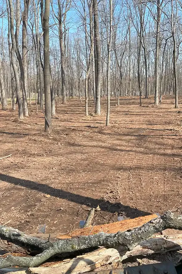
The Georgia Encyclopedia notes that after settlement, clearing the Piedmont led to rapid erosion of the soil. The cause was the same one that applies on a house lot today: red clay carries off in a storm once the roots and the grass are gone.
That is why Georgia requires sediment controls before the ground is disturbed, why Augusta sets a soil erosion plan threshold at 1.1 acres, and why we stage clearing and grading so a lot is never left bare longer than it has to be. The grading page lists the controls. The permit page sorts out which office applies.
How does the ground change the way we dig?
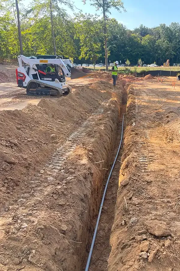
- Trenches. Clay stands. Sand slumps. A trench through both, in a short distance, needs a plan for each. See trenching.
- Foundations. A clay lot is dug to a firm, dry bottom, and a sand lot has to be compacted before the footing. See foundation excavation.
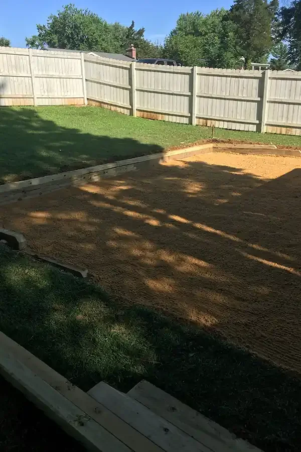
- Driveways. Clay needs fabric and drainage to stay out of the ruts. Sand needs stone that locks together so the surface does not scatter. See gravel driveways.
- Ponds. Clay holds water, and sand does not. See pond digging.
- Clearing. Both kinds erode, in different ways. See land clearing.
How we read the ground on a lot
Look at the surface
Slope, drainage, vegetation, and the color of exposed dirt in ditches and cuts tell us what to expect.
Test cut
A few cuts with the machine show the layers and the water. This is cheaper than a surprise.
Match the method
We choose the way to dig, support, and compact based on what the cuts show.
Tell you what we see
If rock, kaolin, or wet ground changes the job, you hear it the same day.