What does it take to dig or repair a pond in Augusta?
A pond is dirt work with water rules attached. The dig itself is straightforward. The part that takes planning is where the water comes from, where it goes when the pond is full, and which agencies have a say before and after you dig.
We start on the site, not the plan. We look at the drainage area above the pond site, the soil that will hold the water, the low spot where an overflow has to go, and where the spoil will end up. Then we tell you what the permits look like before you spend money on them.
For a new pond, clearing comes first. See land clearing for how we handle trees and stumps in the pond footprint and along the dam.
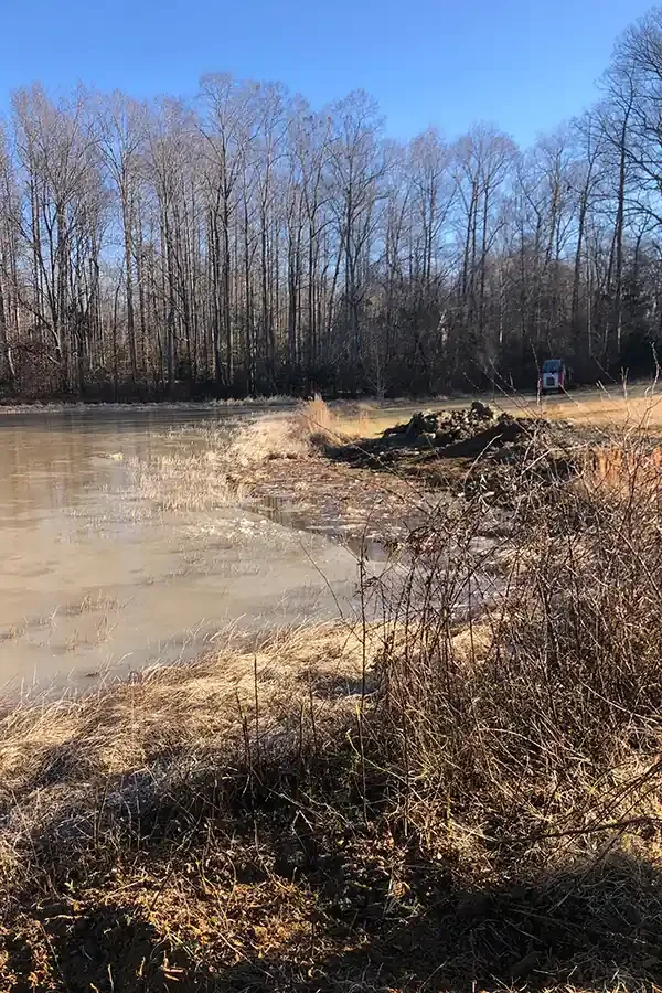
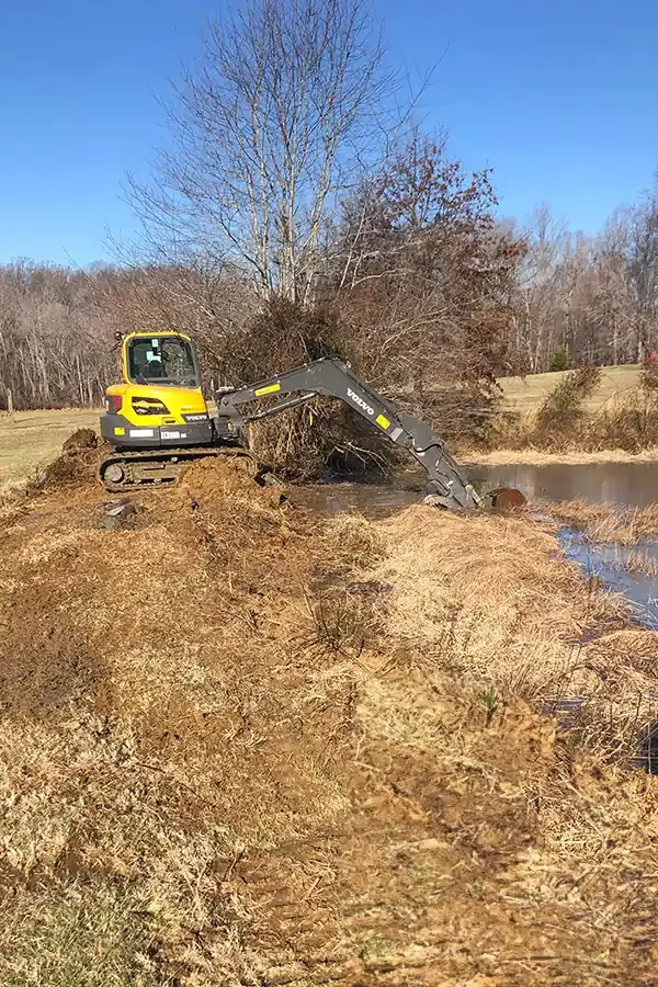
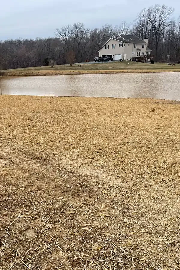
Is it a new pond, a dam, or a repair?
Dug into the ground, usually on flatter land with a high enough water table or a good source. The Savannah District guide gives a simple yield rule for these: surface area times average depth, in acre-feet.
An earthen dam across a drainage that fills from runoff or a stream. These have the most permits, and they need a spillway and an outlet that lets normal flow continue downstream. The guide's yield formula for these is surface area times maximum depth at the dam times 0.4.
Rebuilding a bank, replacing an outlet pipe, removing silt, or clearing growth from a dam. Repairs that change the dam or the pond's footprint can trigger the same permits as new construction.
If you are not sure which one you have, a walk around the pond with us usually sorts it out in ten minutes.
Which agencies have a say?
There can be four, and they do not talk to each other, so you have to ask each of them.
- U.S. Army Corps of Engineers, Savannah District. Regulates fill in streams and wetlands. A farm pond that meets the criteria is exempt, and the owner can request written verification. The district's farm pond guide is the current reference (Savannah District farm pond guide).
- Georgia EPD. The state buffer rule keeps land disturbance 25 feet back from state waters, and the Corps guide notes that EPD may require a variance for a pond.
- Georgia Safe Dams Program. Covers dams 25 feet or more in height or holding 100 acre-feet or more. (404) 463-2461.
- The county. A grading permit applies in Augusta (Planning and Development, (706) 821-1796), with a soil erosion plan above 1.1 acres. Columbia County uses its Stormwater Compliance office.
The guide adds that fill is limited to the area needed for the dam or berm, that no fill goes into streams or wetlands to build up land around the pond, and that outflow has to maintain normal pre-construction flows, including in dry weather.
How is a pond dug so it holds water?
Holding water comes down to the soil in the bed and the quality of the dam. Clay holds. Sand does not. We probe the site for the soil that will line the pond, strip the topsoil, and cut the bottom. If a dam is part of it, we dig a key trench along its footprint and build the dam in compacted lifts. A dam made of loose dirt pushed into a pile is the usual reason a pond fails.
Augusta has both kinds of ground. The Augusta dirt guide explains why a pond that holds well on one side of town can leak badly on the other. We do not guarantee that a pond will hold water, because no contractor honestly can before the soil is open. We tell you what we see as we dig.
Stumps, roots, and brush in the footprint come out first. Bank slopes are cut gentle enough to stay in place and to let people and animals get out. The face is seeded or mulched right away.
Where does the dirt from a pond go?
A pond produces a lot of spoil. A round pond 100 feet across and 6 feet deep, if it were dug with straight sides, would be about 1,750 cubic yards. A real pond has sloped sides and less volume, but the spoil is still a big number. We plan where it goes: shaped into the dam, spread on a pad or field, or hauled.
The Corps guide limits how spoil can be placed next to a pond that uses the farm pond exemption, so it matters where we put it. Use the calculator to see your numbers, then talk to us before you plan the spoil.
How a pond job runs
Walk the site
We look at the water source, the soil, the overflow path, and the access for the machine.
Permits first
We find out which agencies apply, and nothing is dug until they are answered.
Clear and mark
Trees, stumps, and brush in the footprint come out, and we stake the pond and the buffer.
Dig and build
We cut the bed, build the dam and spillway if there is one, and place spoil where we agreed.
Stabilize
The banks are shaped, seeded, and mulched, and we walk the pond with you.